Act one · The coast
The coast and colonial memory
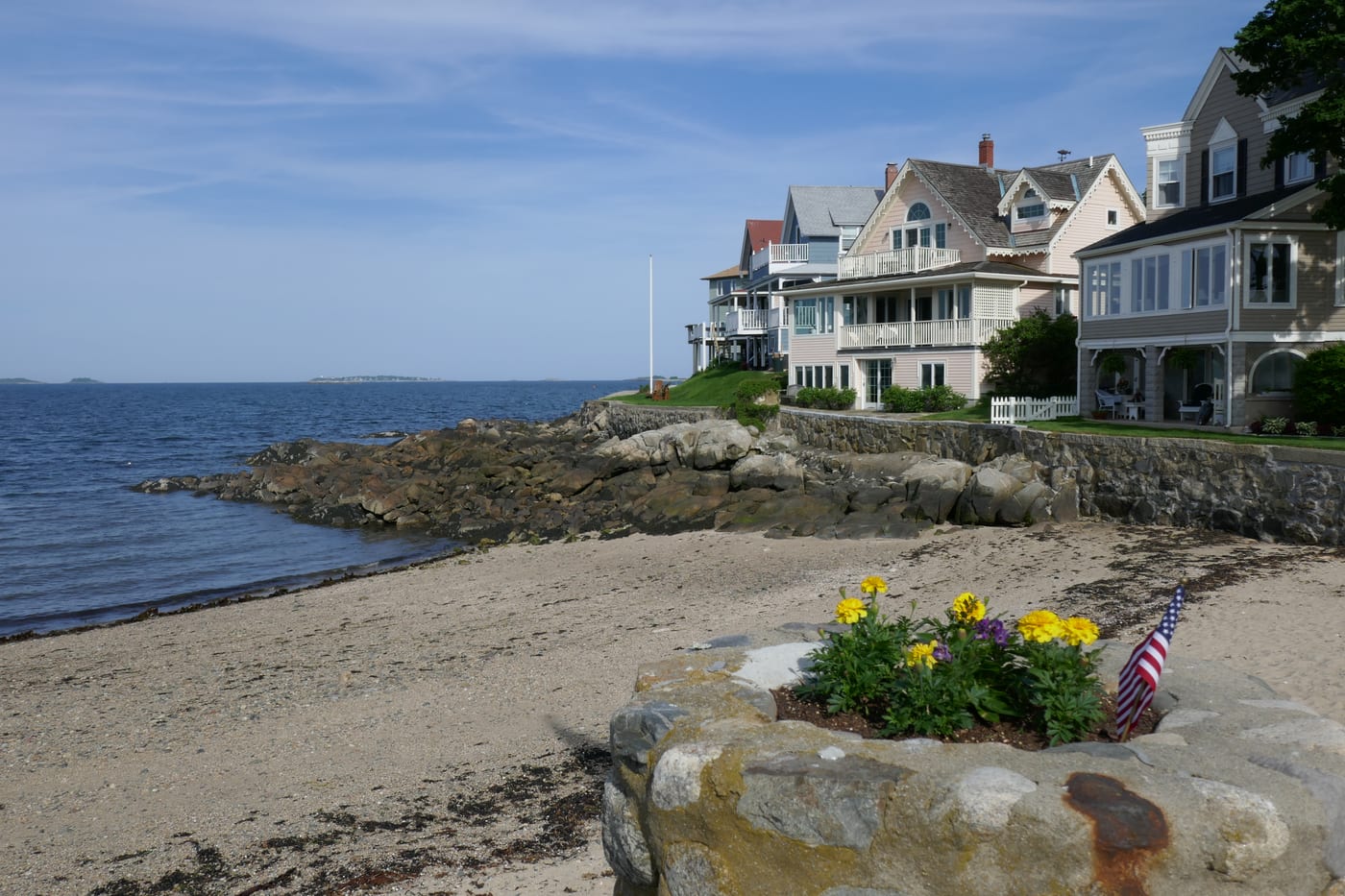
Massachusetts begins at the Atlantic edge, where Indigenous nations had lived for thousands of years before the English arrived, and where the same shoreline holds both the founding myths the country tells about itself and the harder facts of dispossession, persecution, and the global trade that built its early wealth.
The land before the colony
The coast was not empty when European ships reached it. The Massachusett, Wampanoag, Nipmuc, Nauset and other Algonquian-speaking peoples lived across what is now eastern Massachusetts, organized around fishing, farming, hunting and seasonal movement between the shore and the interior. The Mashpee Wampanoag, who call themselves the People of the First Light, describe a continuous presence in present-day Massachusetts and eastern Rhode Island of more than 12,000 years.
The state's own name comes from the Massachusett people. The word translates roughly as "at the great hill," a reference to the rise known today as the Great Blue Hill, south of Boston. The name a visitor uses without thinking is itself an Indigenous place-name carried into the language of the people who displaced them.
Reading the coast this way changes the order of the story. The arrivals of 1620 and after did not open an empty frontier; they entered a populated and organized world, and much of the colonial history that follows is the record of how that world was reduced. Both the Mashpee Wampanoag and the Wampanoag Tribe of Gay Head (Aquinnah) remain federally recognized nations today, recognized in 2007 and 1987 respectively, with members still living on or near their ancestral lands.
Plymouth: two peoples, one shore
In 1620 the Mayflower carried English religious separatists and other passengers to Cape Cod, and then up the coast to a site the Wampanoag knew as Patuxet, where a community had lived before disease emptied it. The newcomers called the place Plymouth and built their town on ground that was not unoccupied so much as recently devastated.
Before going ashore, the adult male passengers signed the Mayflower Compact, agreeing to "combine ourselves together into a civil body politic" for the colony's ordering and survival. The document is often cited as an early step toward self-government in English America. It was also an agreement among the colonists alone; it had nothing to say about the people whose land they were settling.
The way this history is now presented matters. Plimoth Patuxet Museums, the living-history site in Plymouth, deliberately tells the story as a dual narrative, pairing a re-created 17th-century English village with a Wampanoag homesite interpreted by Native staff. The name itself carries both the English settlement, Plimoth, and the Wampanoag place, Patuxet. The point is not a single founding story but two peoples who met on the same shore, with very different outcomes.
Salem: trials and trade
Salem carries two histories that are easy to confuse. The first is the witch trials of 1692, a real episode of judicial killing in which, by the Peabody Essex Museum's account, 25 innocent women, men and children died. Nineteen were hanged at Proctor's Ledge below Gallows Hill; one man, Giles Corey, was pressed to death under stones; others died in jail. It is a tragedy and a case study in how fear and bad evidence can produce lethal injustice, not the costume entertainment that much of the modern town sells.
The Peabody Essex Museum holds one of the most significant collections of objects and architecture tied to the trials, and from 1980 to 2023 its Phillips Library held the state Supreme Judicial Court's original witch-trial documents, including arrest warrants and court records, which have since been returned to the Massachusetts State Archives. The museum frames the events as injustice to be reckoned with and the victims as people to be honored, a deliberate counterweight to Salem's commercial reputation.
Salem's second history is maritime. In the decades after independence, Salem's ships reached far into global trade, and that commerce shaped the early American economy. The waterfront is preserved as Salem Maritime National Historical Park, originally established on March 17, 1938 as the first National Historic Site in the United States. Its roughly nine acres and surviving wharves and buildings tell the story of how a small New England port connected to a wider world, wealth that, like much early American prosperity, was entangled with global systems of trade and labor.
The wider coast
Beyond Plymouth and Salem, the identity of coastal Massachusetts is still tied to the sea. Gloucester and Rockport on Cape Ann grew as fishing communities; New Bedford was a center of the 19th-century whaling industry; Nantucket built its early fortune on whaling as well. These were working economies, often dangerous and often built on hard labor, before they were destinations.
Much of the Outer Cape is now protected as Cape Cod National Seashore, authorized in 1961, which preserves about forty miles of beach, dunes, marsh, ponds and uplands. Its creation was a deliberate conservation choice to keep a heavily settled stretch of coast from being fully developed, and it remains a useful base for understanding the Cape's landscape rather than only its summer crowds.
Offshore, the islands carry their own deep histories. On Martha's Vineyard, known to the Wampanoag as Noepe, the Wampanoag Tribe of Gay Head (Aquinnah) traces ancestral presence on the island for at least 10,000 years. Tribal tradition holds that the giant Moshup shaped the island and the surrounding lands, including Nantucket and the Elizabeth Islands. To travel this coast attentively is to hold several timelines at once: an Indigenous one measured in millennia, a colonial one of four centuries, and an industrial one of fishing and trade still visible in the harbors.
Sources
Reviewed source trail
- Mashpee Wampanoag Tribe — History (over 12,000 years; People of the First Light; federal recognition 2007) — checked 2026-06-22
- Wampanoag Tribe of Gay Head (Aquinnah) — Wampanoag History (Noepe; at least 10,000 years; Moshup; federal recognition 1987) — checked 2026-06-22
- Plimoth Patuxet Museums — Mayflower and the Mayflower Compact ("civil body politic"; dual Wampanoag and English narrative) — checked 2026-06-22
- Peabody Essex Museum — The Salem Witch Trials of 1692 (25 deaths; Proctor's Ledge; Phillips Library court documents) — checked 2026-06-22
- Salem Maritime National Historical Park — NPS (originally established March 17, 1938 as the first National Historic Site in the US; global trade history) — checked 2026-06-22
- Cape Cod National Seashore — NPS (about forty miles of beach, dunes, marsh and uplands; authorized 1961) — checked 2026-06-22